Imatge:LocationAntarctica.png
De Viquipèdia
Mida d'aquesta previsualització: 800 × 407 píxels
Imatge en màxima resolució (2.759 × 1.404 píxels, mida de l'arxiu: 97 KB, tipus MIME: image/png)
| | Aquest arxiu és una càrrega compartida, extreta del projecte Wikimedia Commons i pot ser usada per altres projectes. Si voleu disposar de més informació sobre el fitxer, podeu visitar la pàgina original |
[edit] Summary
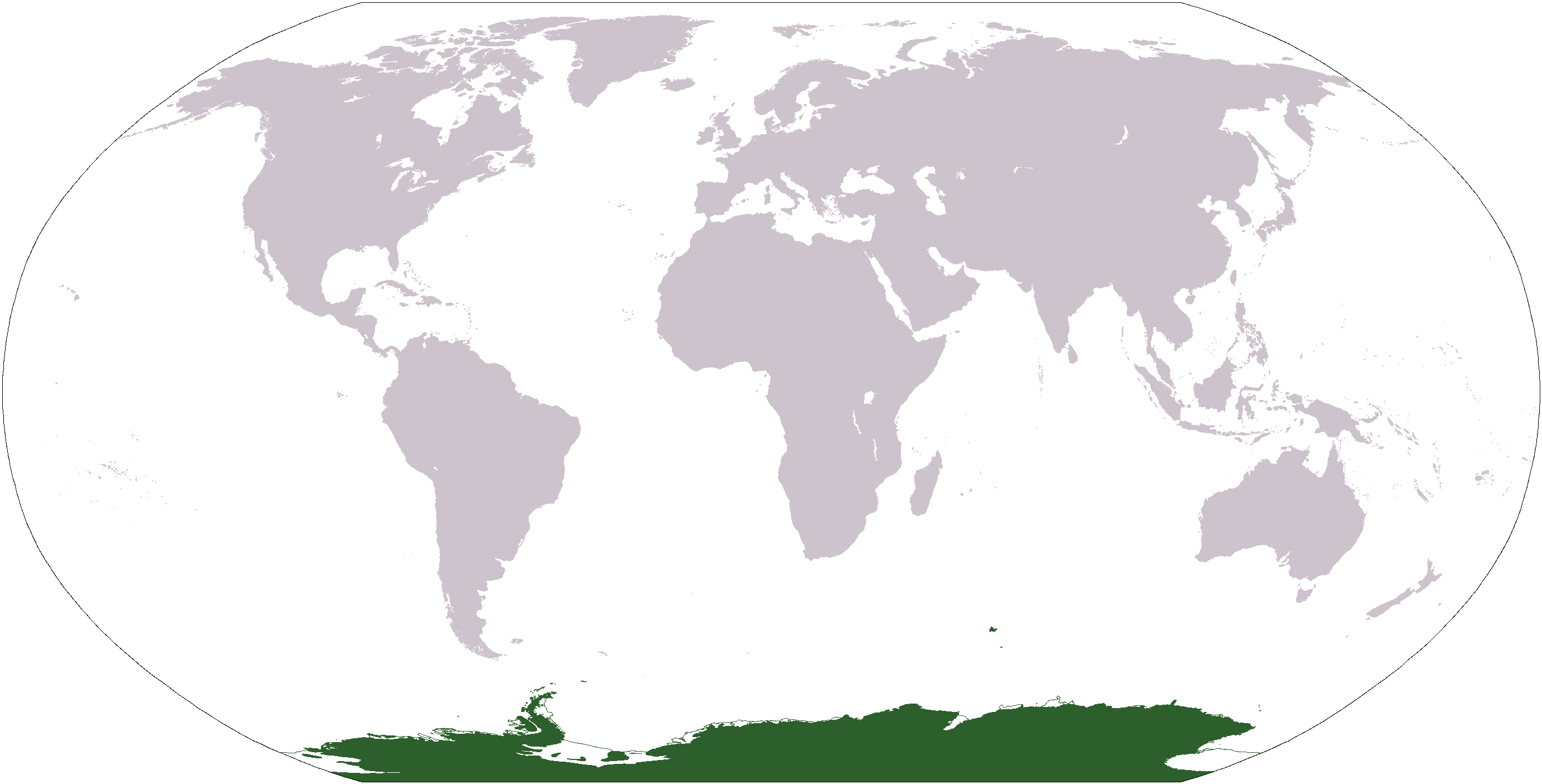
Español: Mapamundi mostrando la ubicación de la Antártida.
World map depicting Antarctica; map adapted from PDF world map at CIA World Fact Book.
Updated March 31, 2006 to remove green above 60°S line. in december there is 24 hours of sun lightInsert non-formatted text here
[edit] Licensing
| This image is in the public domain because it contains materials that originally came from the United States Central Intelligence Agency's World Factbook.
Deutsch | English | Español | Français | 日本語 | Nederlands | 한국어 | Português | தமிழ் | Magyar | +/- |
 |
adam ross lewis
Historial del fitxer
Cliqueu sobre la data/hora per veure el fitxer tal com era aleshores.
| Data/Hora | Dimensions | Usuari | Comentari | |
|---|---|---|---|---|
| actual | 14:37, 19 gen 2008 | 2.759×1.404 (97 KB) | F l a n k e r | (Transparency) |
| 03:04, 31 març 2006 | 2.759×1.404 (55 KB) | David Kernow | ||
| 20:54, 20 des 2005 | 2.759×1.404 (50 KB) | E Pluribus Anthony | (World map: Antarctica (location)) | |
| 14:38, 28 abr 2005 | 2.759×1.404 (39 KB) | Ghalas | (Extracted from CIA World Factbook PDF world map, then rasterized and colored. {{PD-USGov-CIA-WF}}) |
Enllaços a la imatge
Les següents pàgines enllacen a aquesta imatge:

