Imatge:Togo-CIA WFB Map.png
De Viquipèdia
No hi ha una versió amb una resolució més gran.
Togo-CIA_WFB_Map.png (328 × 353 píxels, mida de l'arxiu: 17 KB, tipus MIME: image/png)
| | Aquest arxiu és una càrrega compartida, extreta del projecte Wikimedia Commons i pot ser usada per altres projectes. Si voleu disposar de més informació sobre el fitxer, podeu visitar la pàgina original |
- See also the 2004 version.
| This image is in the public domain because it contains materials that originally came from the United States Central Intelligence Agency's World Factbook.
Deutsch | English | Español | Français | 日本語 | Nederlands | 한국어 | Português | தமிழ் | Magyar | +/- |
 |
Historial del fitxer
Cliqueu sobre la data/hora per veure el fitxer tal com era aleshores.
| Data/Hora | Dimensions | Usuari | Comentari | |
|---|---|---|---|---|
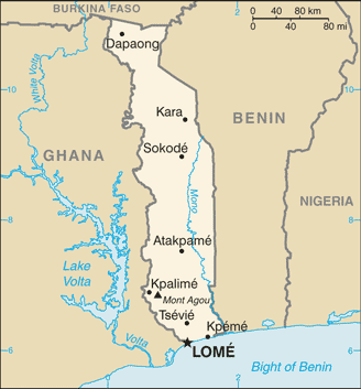
| actual | 10:12, 21 jul 2007 | 328×353 (17 KB) | Hoshie | (Updated map of Togo from the CIA World Factbook, 14 June 07 rev. Src: https://www.cia.gov/library/publications/the-world-factbook/maps/to-map.gif) |
| 11:18, 27 març 2005 | 338×727 (15 KB) | Wolfman | ({{CIA-map}}) |
Enllaços a la imatge
Les següents pàgines enllacen a aquesta imatge:

