Imatge:Ph locator map panay.png
De Viquipèdia
No hi ha una versió amb una resolució més gran.
Ph_locator_map_panay.png (300 × 440 píxels, mida de l'arxiu: 22 KB, tipus MIME: image/png)
| | Aquest arxiu és una càrrega compartida, extreta del projecte Wikimedia Commons i pot ser usada per altres projectes. Si voleu disposar de més informació sobre el fitxer, podeu visitar la pàgina original |
[edit] Summary
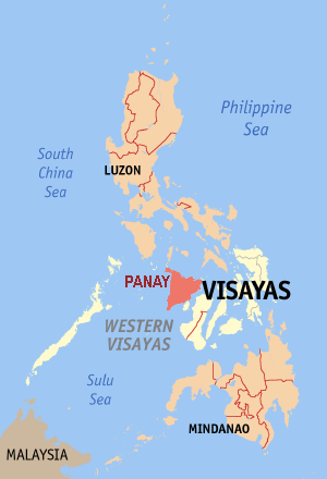
| Description |
Map of the Philippine island Panay |
|---|---|
| Source |
editted by Magalhães from original GFDL map from English Wikipedia: Image:Ph locator map aklan.png |
| Date |
09-10-2006 |
| Author | |
| Permission (Reusing this image) |
GFDL |
[edit] Licensing

Historial del fitxer
Cliqueu sobre la data/hora per veure el fitxer tal com era aleshores.
| Data/Hora | Dimensions | Usuari | Comentari | |
|---|---|---|---|---|
| actual | 10:56, 9 oct 2006 | 300×440 (22 KB) | Magalhães | ({{Information |Description=Map of the Philippine island Panay |Source=editted by ~~~ from original GFDL map from English Wikipedia: Image:Ph locator map aklan.png |Date=09-10-2006 |Author=~~~ |Permission=GFDL }} Category:Maps of the Philippines) |
Enllaços a la imatge
Les següents pàgines enllacen a aquesta imatge:

