Imatge:Myanmar-outline-map.png
De Viquipèdia
No hi ha una versió amb una resolució més gran.
Myanmar-outline-map.png (240 × 350 píxels, mida de l'arxiu: 7 KB, tipus MIME: image/png)
| | Aquest arxiu és una càrrega compartida, extreta del projecte Wikimedia Commons i pot ser usada per altres projectes. Si voleu disposar de més informació sobre el fitxer, podeu visitar la pàgina original |
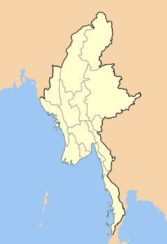
| Description |
Map outlining the states and divisions of Myanmar (formerly Burma). |
||
|---|---|---|---|
| Source |
Own work on Adobe Photoshop |
||
| Date |
2006-07-12 |
||
| Author | |||
| Permission (Reusing this image) |
|
Historial del fitxer
Cliqueu sobre la data/hora per veure el fitxer tal com era aleshores.
| Data/Hora | Dimensions | Usuari | Comentari | |
|---|---|---|---|---|
| actual | 22:48, 13 maig 2008 | 240×350 (7 KB) | Mahahahaneapneap | (Compressed) |
| 08:26, 14 feb 2007 | 240×350 (7 KB) | Hintha | ({{Information |Description=Map outlining the states and divisions of Myanmar (formerly Burma). |Source=Own work on Adobe Photoshop |Date=2006-07-12 |Author=User:Hintha |Permission={{pd-self}} |other_versions= }}) |

