Imatge:Gambia satellite fires.jpeg
De Viquipèdia
Mida d'aquesta previsualització: 800 × 242 píxels
Imatge en màxima resolució (1.432 × 433 píxels, mida de l'arxiu: 103 KB, tipus MIME: image/jpeg)
| | Aquest arxiu és una càrrega compartida, extreta del projecte Wikimedia Commons i pot ser usada per altres projectes. Si voleu disposar de més informació sobre el fitxer, podeu visitar la pàgina original |
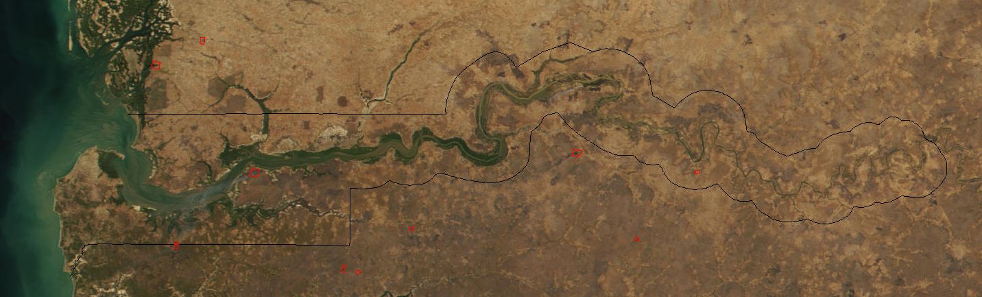
| Description |
Image cropped to The Gambia. |
|---|---|
| Source |
Cropped from: http://visibleearth.nasa.gov/view_rec.php?id=2521 |
| Date |
2002-03-04 |
| Author |
Jacques Descloitres, MODIS Land Rapid Response Team at NASA GSFC |
| Permission (Reusing this image) |
see below |
| Other versions | Image:Senegal satellite fires.jpeg |
[edit] Licensing
|
|
This file is in the public domain because it was created by NASA. NASA copyright policy states that "NASA material is not protected by copyright unless noted". (NASA copyright policy page or JPL Image Use Policy).
Deutsch | English | Español | Français | Nederlands | Português | Русский | 中文(简体) | 中文(繁體) | +/- |
|
 |
Warnings:
|
Historial del fitxer
Cliqueu sobre la data/hora per veure el fitxer tal com era aleshores.
| Data/Hora | Dimensions | Usuari | Comentari | |
|---|---|---|---|---|
| actual | 20:11, 20 des 2004 | 1.432×433 (103 KB) | Ikiwaner | (Map from [http://visibleearth.nasa.gov/cgi-bin/viewrecord?12145 NASA Visible Earth] {{PD-USGov-NASA}}) |
Enllaços a la imatge
Les següents pàgines enllacen a aquesta imatge:

