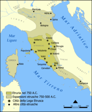
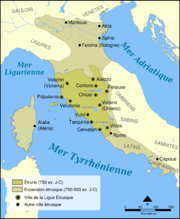
Imatge:Etruscan civilization map.png
De Viquipèdia

Mida d'aquesta previsualització: 494 × 600 píxels
Imatge en màxima resolució (1.000 × 1.214 píxels, mida de l'arxiu: 525 KB, tipus MIME: image/png)
Historial del fitxer
Cliqueu sobre la data/hora per veure el fitxer tal com era aleshores.
| Data/Hora | Dimensions | Usuari | Comentari | |
|---|---|---|---|---|
| actual | 22:10, 6 feb 2006 | 1.000×1.214 (525 KB) | NormanEinstein | (Modified tribe names.) |
| 16:01, 27 jul 2005 | 800×971 (405 KB) | NormanEinstein | (Corrected several typos.) | |
| 23:03, 26 jul 2005 | 800×971 (416 KB) | NormanEinstein | (A map showing the extent of Etruria and the Etruscan civilization. The map includes the 12 cities of the Etruscan League and notable cities founded by the Etruscans. Created by NormanEinstein, July 26, 2005. {{GFDL-self}}) |


