
File:Outer Hebrides UK location map.svg
Size of this preview: 365 × 480 pixels.
| |
This is a file from the Wikimedia Commons. Information from its description page there is shown below.
Commons is a freely licensed media file repository. You can help. |
| Description |
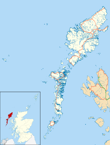
Blank map of the Outer Hebrides (excluding Sula Sgeir), UK with the following information shown:
Equirectangular map projection on WGS 84 datum, with N/S stretched 180% Geographic limits:
|
|||||
| Date | 26 September 2010 | |||||
| Source | Ordnance Survey OpenData.
|
|||||
| Author | Nilfanion, created using Ordnance Survey data | |||||
| Permission ( Reusing this file) |
|
File usage
The following pages on Schools Wikipedia link to this image (list may be incomplete):
Metadata
Did you know...?
SOS Childrens Villages chose the best bits of Wikipedia to help you learn. SOS Childrens Villages believes that a decent childhood is essential to a happy, healthy. Our community work brings families new opportunities through education, healthcare and all manner of support. Will you help another child today?