
File:Surface analysis.gif
Surface_analysis.gif (640 × 480 pixels, file size: 26 KB, MIME type: image/gif)
| |
This is a file from the Wikimedia Commons. Information from its description page there is shown below.
Commons is a freely licensed media file repository. You can help. |
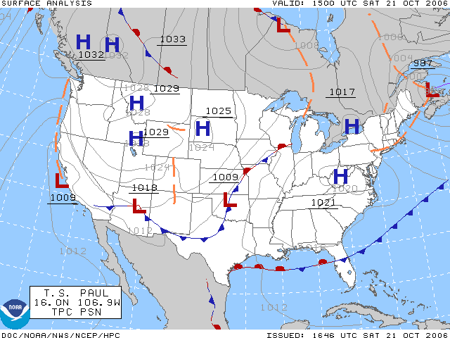
The surface analysis for the United States on October 21, 2006. Plotted by the HPC.
Source Website: Aviation Digital Data Service (ADDS)
Licencing
 |
This image is in the public domain because it contains materials that originally came from the U.S. National Oceanic and Atmospheric Administration, taken or made as part of an employee's official duties.
|
 |
File usage
The following pages on Schools Wikipedia link to this image (list may be incomplete):
Want to know more?
You can learn about nearly 6,000 different topics on Schools Wikipedia. SOS Children's Villages helps more than 2 million people across 133 countries around the world. Help another child by taking out a sponsorship.