
File:HND orthographic.svg
Size of this preview: 480 × 480 pixels.
| |
This is a file from the Wikimedia Commons. Information from its description page there is shown below.
Commons is a freely licensed media file repository. You can help. |
Summary
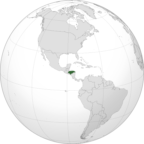
| Description |
English: Orthographic map of Honduras centered at 15° N, 86° W.
Official territory.
Claimed territories.
|
||
| Date | 8 December 2011 | ||
| Source | Own work with Natural Earth Data
|
||
| Author | Addicted04 |
Licensing
|
File usage
The following pages on Schools Wikipedia link to this image (list may be incomplete):
Metadata
The best way to learn
Wikipedia for Schools is one of SOS Childrens Villages' many educational projects. SOS Childrens Villages is famous for the love and shelter it brings to lone children, but we also support families in the areas around our Children's Villages, helping those who need us the most. Try to find out how you can help children in other countries on our web site.