
File:Bangladesh (orthographic projection).svg
Size of this preview: 480 × 480 pixels.
| |
This is a file from the Wikimedia Commons. Information from its description page there is shown below.
Commons is a freely licensed media file repository. You can help. |
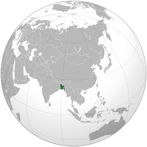
| Description | English: Bangledesh orthographic projection
|
| Date | 5 October 2009 |
| Source | Based on en:File:India_(orthographic_projection).jpg by en:user:Ssolbergj |
| Author | Shahid Parvez. Based on a file by User:Ssolbergj |
Licensing
| |
The map has been created with the Generic Mapping Tools: http://gmt.soest.hawaii.edu/ using one or more of these public domain datasets for the relief:
|
 |
Permission is granted to copy, distribute and/or modify this document under the terms of the GNU Free Documentation License, Version 1.2 or any later version published by the Free Software Foundation; with no Invariant Sections, no Front-Cover Texts, and no Back-Cover Texts. A copy of the license is included in the section entitled GNU Free Documentation License.
|
File usage
The following pages on Schools Wikipedia link to this image (list may be incomplete):
Metadata
Learn more
Wikipedia for Schools was collected by SOS Childrens Villages. SOS Children works in 133 countries and territories across the globe, helps more than 62,000 children, and reaches over 2 million people in total. There are many ways to help with SOS Children's Villages.