
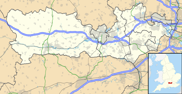
File:Berkshire UK location map.svg
Size of this preview: 640 × 333 pixels.
| |
This is a file from the Wikimedia Commons. Information from its description page there is shown below.
Commons is a freely licensed media file repository. You can help. |
| Description | Map of Berkshire, UK with the following information shown:
Equirectangular map projection on WGS 84 datum, with N/S stretched 160% Geographic limits:
|
|||||
| Date | 17 July 2010 | |||||
| Source | Ordnance Survey OpenData.
|
|||||
| Author | Nilfanion, created using Ordnance Survey data | |||||
| Permission ( Reusing this file) |
|
File usage
The following pages on Schools Wikipedia link to this image (list may be incomplete):
Metadata
Background information
Through Schools Wikipedia, SOS Children has brought learning to children around the world. SOS Children is there for the children in our care until they are ready for independence. Help another child by taking out a sponsorship.