 |
This is a file from the Wikimedia Commons. Information from its description page there is shown below.
Commons is a freely licensed media file repository. You can help.
|
Summary
| Description |
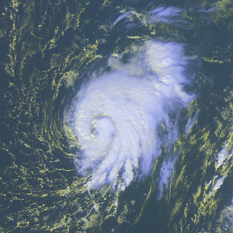
Tropical Storm Peter was located over the Atlantic Ocean near 20.3S 37.1E at 17:00 UTC. Peter had been moving northward at 10 knots with maximum sustained winds estimated at 60 knots, gusts to 75 knots. |
| Date |
9 December 2003 |
| Source |
http://www.osei.noaa.gov/Events/Tropical/Atlantic/2003/TRCpeter343_G12.tif |
| Author |
NOAA / Operational Significant Events Imagery |
Permission
( Reusing this file) |
| Public domainPublic domainfalsefalse |
 |
This image is in the public domain because it contains materials that originally came from the U.S. National Oceanic and Atmospheric Administration, taken or made as part of an employee's official duties.
|
|
- The NOAA emblem is the property of the U.S. Government and a trademark of the United States Department of Commerce.
|
File usage
The following pages on Schools Wikipedia link to this image (list may be incomplete):
All five editions of Schools Wikipedia were compiled by SOS Childrens Villages. More than 2 million people benefit from the global charity work of SOS Childrens Villages, and our work in 133 countries around the world is vital to ensuring a better future for vulnerable children. Would you like to sponsor a child?


