
File:Cornwall UK mainland location map.svg
Size of this preview: 494 × 479 pixels.
| |
This is a file from the Wikimedia Commons. Information from its description page there is shown below.
Commons is a freely licensed media file repository. You can help. |
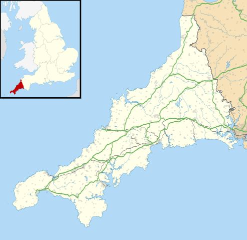
| Description | Map of Cornwall, UK (excluding the Isles of Scilly) with the following information shown:
Equirectangular map projection on WGS 84 datum, with N/S stretched 150% Geographic limits:
|
|||||
| Date | 26 September 2010 | |||||
| Source | Ordnance Survey OpenData.
|
|||||
| Author | Nilfanion, created using Ordnance Survey data | |||||
| Permission ( Reusing this file) |
|
File usage
The following pages on Schools Wikipedia link to this image (list may be incomplete):
Metadata
Schools Wikipedia facts
All five editions of Schools Wikipedia were compiled by SOS Children's Villages. SOS Children helps those who have nothing and no one, giving them back the famly they have lost and bringing them the very best opportunities for a happy, healthy future. There are many ways to help with SOS Children.