
File:Canada Alberta location map 2.svg
Size of this preview: 389 × 479 pixels.
| |
This is a file from the Wikimedia Commons. Information from its description page there is shown below.
Commons is a freely licensed media file repository. You can help. |
| Description |
Deutsch: Positionskarte von Alberta, Kanada
Quadratische Plattkarte, N-S-Streckung 170 %. Geographische Begrenzung der Karte:
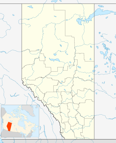
English: Location map of Alberta, Canada, showing the 19 census divisions.
Equirectangular projection, N/S stretching 170%. Geographic limits of the map:
Español: Divisiones censales de Alberta
Français : Les divisions de recensement de l'Alberta
Italiano: Divisioni censuarie dell'Alberta
|
||||||
| Date | 24 September 2009 | ||||||
| Source | Own work, File:Canada Alberta location map.svg by NordNordWest | ||||||
| Author | Hanhil ( talk) 05:35, 24 September 2009 (UTC) | ||||||
| Permission ( Reusing this file) |
|
File usage
The following pages on Schools Wikipedia link to this image (list may be incomplete):
Metadata
I want to learn more...
This selection has made Wikipedia available to all children. Thanks to SOS Childrens Villages, 62,000 children are enjoying a happy childhood, with a healthy, prosperous future ahead of them. Why not try to find out more about sponsoring a child?